Real Estate Media
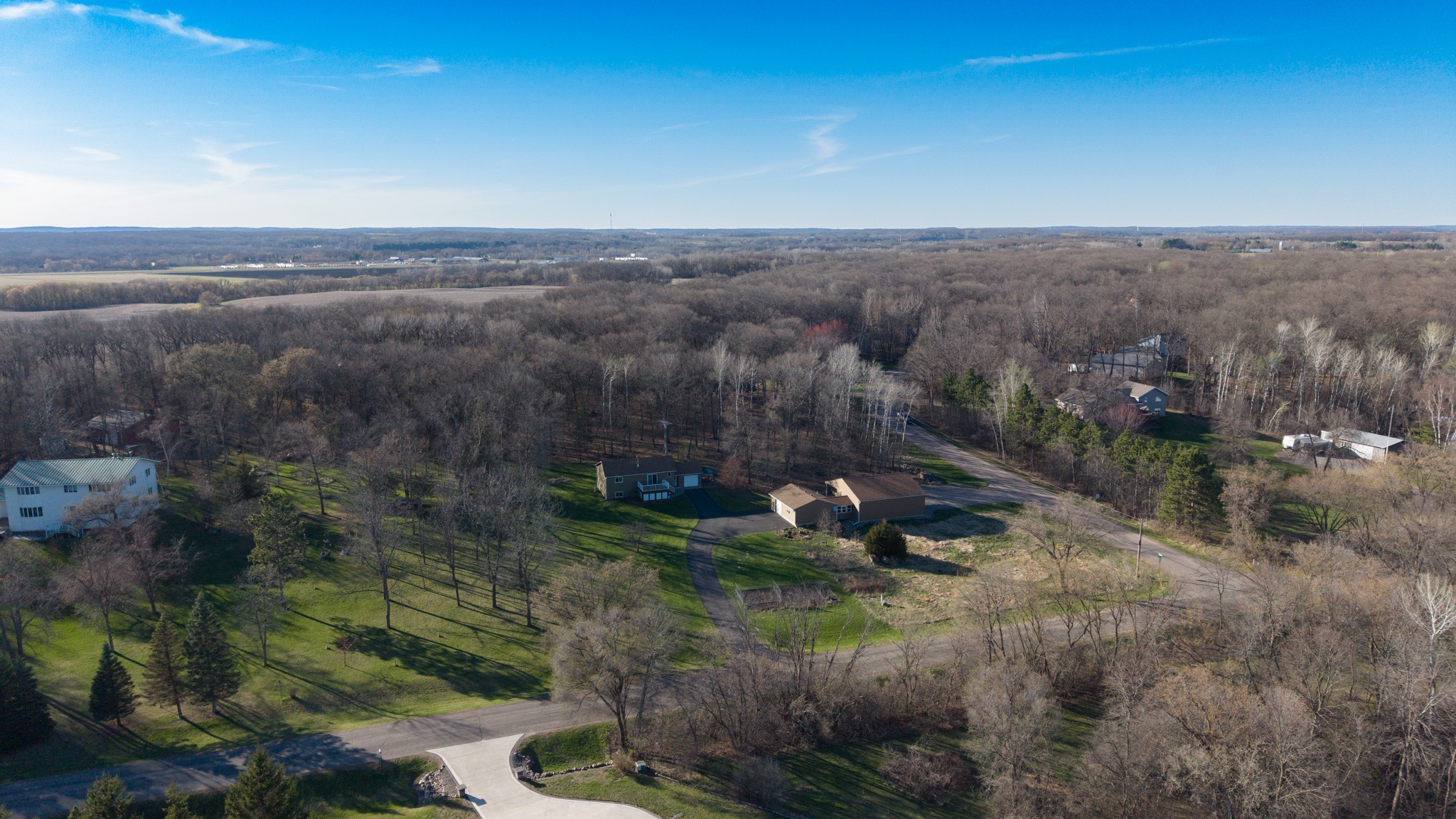
Make listings stand out with aerial photography and video that show the property, acreage, access, and surrounding area.
PLAN A SHOOT ↗Rugged, professional drone photography and video for construction sites, real estate, farms, and businesses. Get a clearer view of your property, your progress, and your next move.
From a single listing shoot to repeat construction visits, we create useful aerial visuals for the people managing, marketing, and building on the ground.
Make listings stand out with aerial photography and video that show the property, acreage, access, and surrounding area.
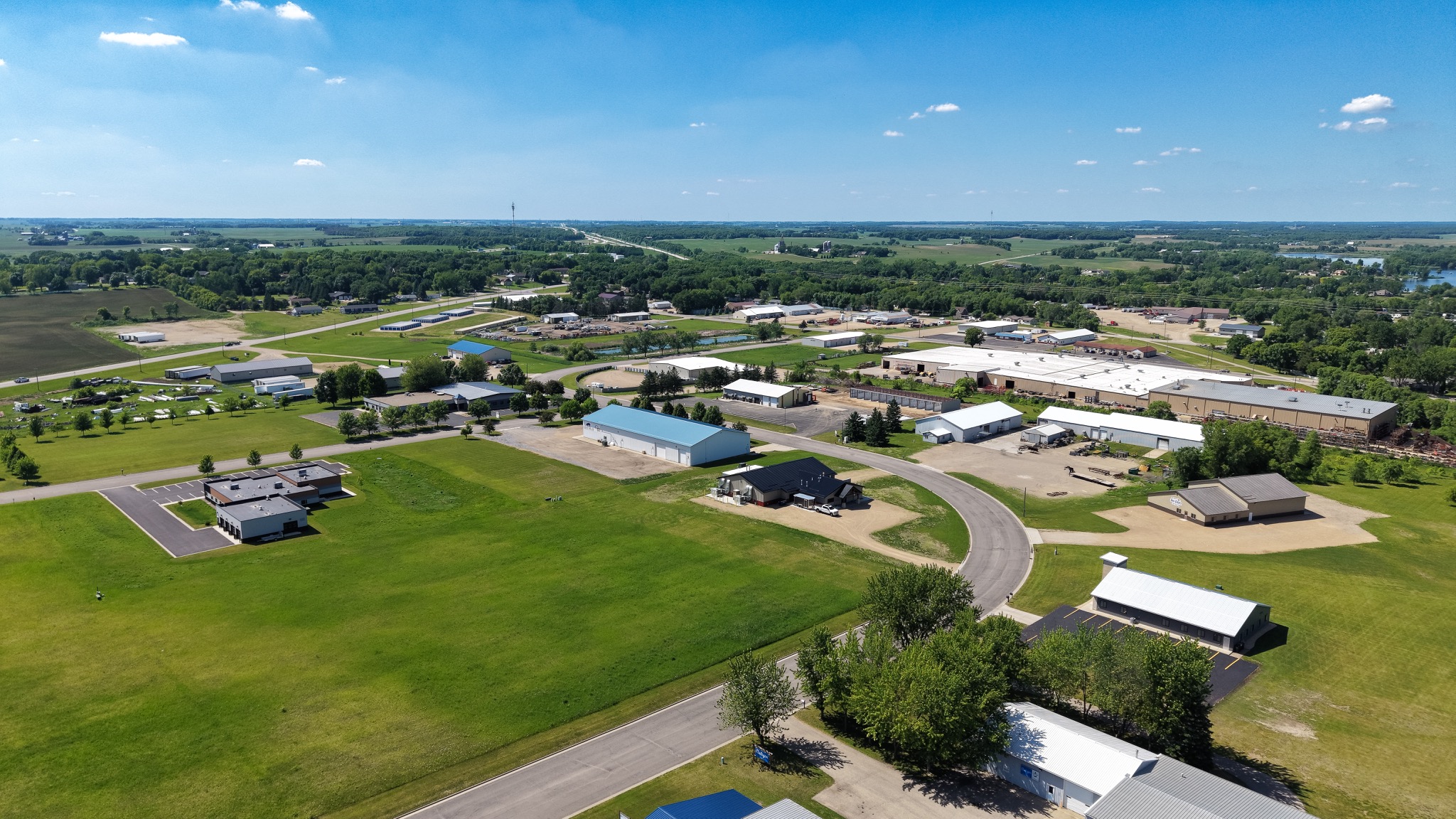
PLAN A SHOOT ↗Repeatable aerial progress updates to help teams communicate milestones, track site changes, and build a visual project record.
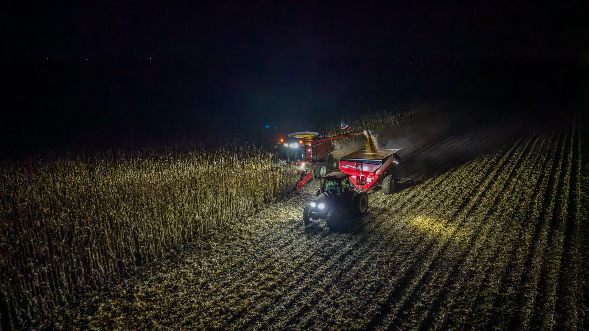
DOCUMENT YOUR SITE ↗Showcase farmland, facilities, businesses, events, and special projects with a fresh perspective from above.
DISCUSS YOUR PROJECT ↗Altitude Visuals helps Minnesota property professionals, construction teams, and businesses capture the bigger picture. We plan each shoot around what you need to show—whether that's a property listing, a site milestone, or the scale of a project.
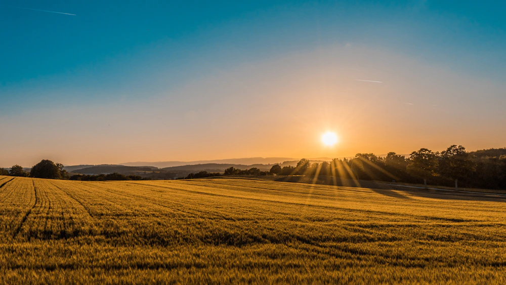
Swap the sample images below for your own best drone and camera shots to make this portfolio uniquely yours.


We keep the process simple so you can focus on the property or project.
Share the location, timing, project type, and how you'll use the finished visuals.
We coordinate the shoot around your goals, site conditions, weather, and applicable flight requirements.
Receive finished media for listings, project updates, presentations, and your business marketing.
Reach out with a few details and we'll talk through the right approach for your project.